THE OVERVIEW OF LAOS
The Peoples Democratic Republic of Laos is located in the center of Indochina, sharing borders with China to the North 416 kilometers, Myanmar to Northwest 236 kilometers, Thailand to the West 1,835 kilometers, Cambodia to the South 492 kilometers and Vietnam to the East 1,957 kilometers.
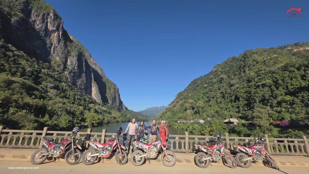
With a total area of 236,800 square kilometers, around 70% of Laos’ terrain is mountainous, reaching a maximum elevation of 2,820 meters in Xieng Khouang Province. The landscapes of northern Laos and the regions adjacent to Vietnam, in particular, are dominated by rough mountains.
The Mekong River is the main geographical feature in the west and, in fact, forms a natural border with Thailand in some areas. The Mekong flows through nearly 1,900 kilometers of Lao territory and shapes much of the lifestyle of the people of Laos. In the South the Mekong reaches a breadth of 20 kilometers, creating an area with thousands of islands.
Laos traces its history to the Kingdom of Lan Xang or Land of a million elephants, which existed from the 14th to the 18th century. After a period as a French colony, it gained independence in 1949. A long civil war ended when the communist Pathet Lao came to power in 1975.
The private enterprise has increased since the mid-1980s, but development has been hampered by poor communications in the heavily forested and mountainous landscape. 80% of those employed practice subsistence agriculture. The country’s ethnic make-up is extremely diverse, with only around 69% belonging to the largest ethnic group of Lao.
LAOS FAST FACTS
|
Capital(and largest city) |
Vientiane 17°58’N 102°36’E |
|
Official languages |
Lao |
|
Government |
Communist State |
|
President |
Choummaly Sayasone |
|
Prime Minister |
Bouasone Bouphavanh |
|
Independence |
– Declared: 19 July 1949 |
|
Area |
– Total: 236,800 km² (83rd)91,429 sq mi ; |
|
Population |
– July 2005 estimate: 5,924,000 (103rd) |
|
GDP (PPP) 2005 estimate |
– Total: $12.547 billion (129th) |
|
HDI (2005) |
0.545 (medium) (133th)) |
|
Currency |
Kip (LAK) |
|
Time zone |
UTC+7 |
|
Internet |
TLD .la |
|
Calling code |
+ 856 |


